
Santa Fe Wildfire Evacuation
Agent-Based Modeling and Visualization Project
This page is a repository for files supporting the simulation project. It is not currently organized for any specific use other than sharing of data. If you have any questions about the content here, contact Porfirio Chavarria of Santa Fe Fire Department (505) 955-3119 or Stephen Guerin of RedfishGroup (505)995-0206.
2006 Project Sponsor: Shelley Nolde Rossbach, Santa Fe Fire Department (now retired)
Research and Development by Joshua Thorp, Frank Wimberly, Stephen Guerin, Owen Densmore, Doug Roberts, Michael Agar and David Hite and
SFFD Wildfire Brochure |
Project Report
|
 Firewise 06 Powerpoint (8 Mb) |

Wildfire Scenarios - during extreme conditions: (40 mph SW winds, 10% rel. humidity, 98 degrees F, extreme fuel conditions)
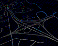
wxPython real-time interface with traffic and fire
.avi movie (54 mb)
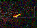
Cerro Gordo Scenario (stress test)
wxPython real-time interface with traffic and fire
technical test. stress test of traffic on upper canyon. traffic amount is overstated.
.avi movie (70 mb)
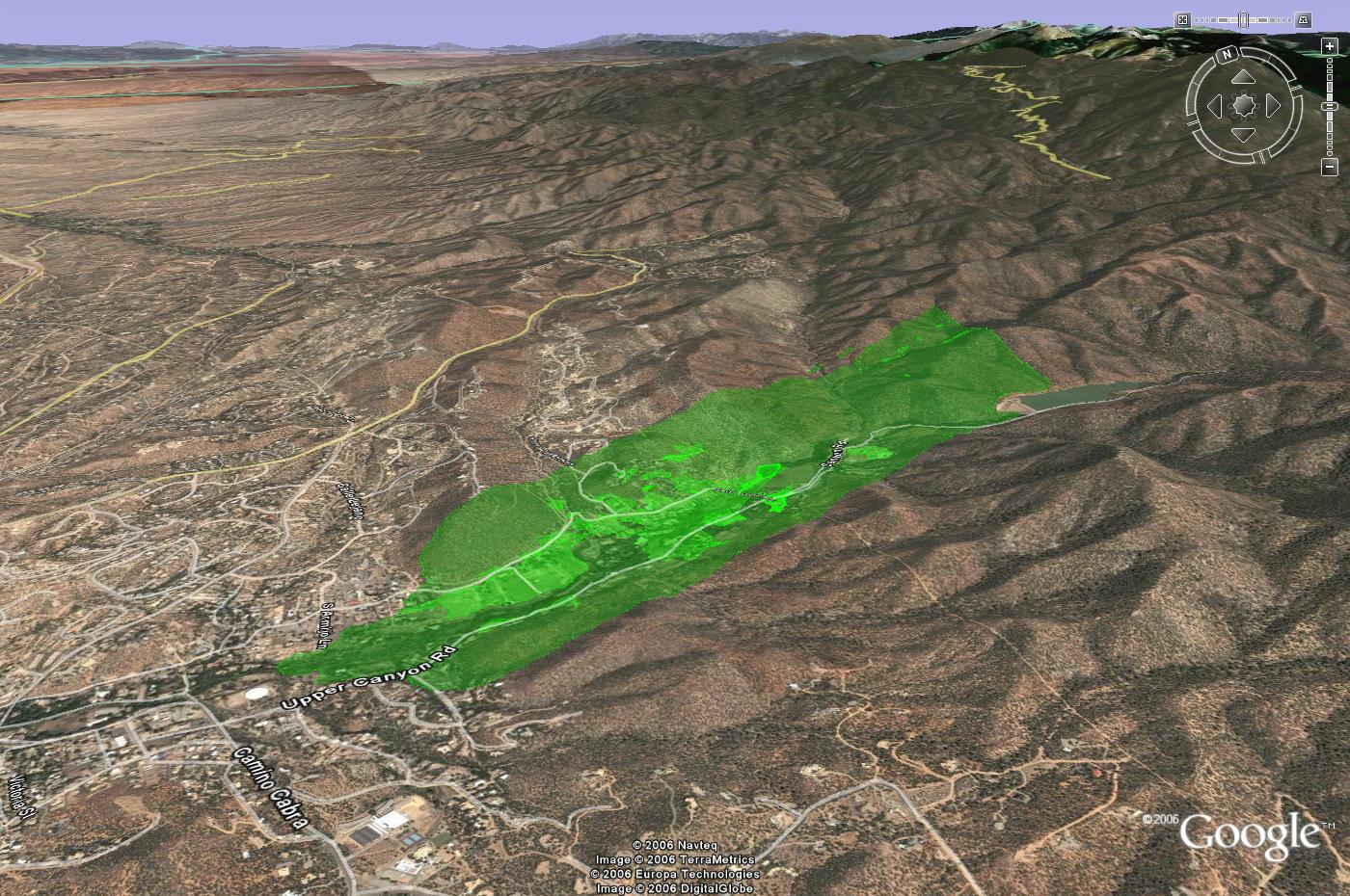
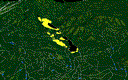
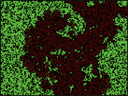
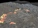
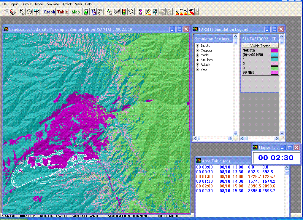
Cerro Gordo Scenario
Green area in image indicates first hour of burn based on Farsite simulation.
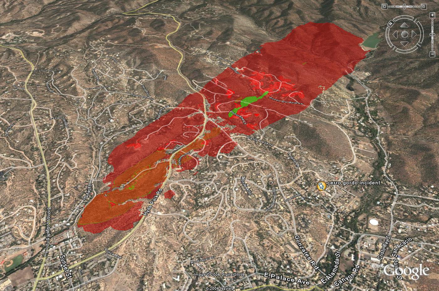
Green area of image indicates first hour of burn based on Farsite simulation. Red indicates the second hour of burn.

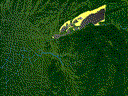
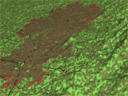
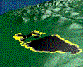
close-up image with homes layer
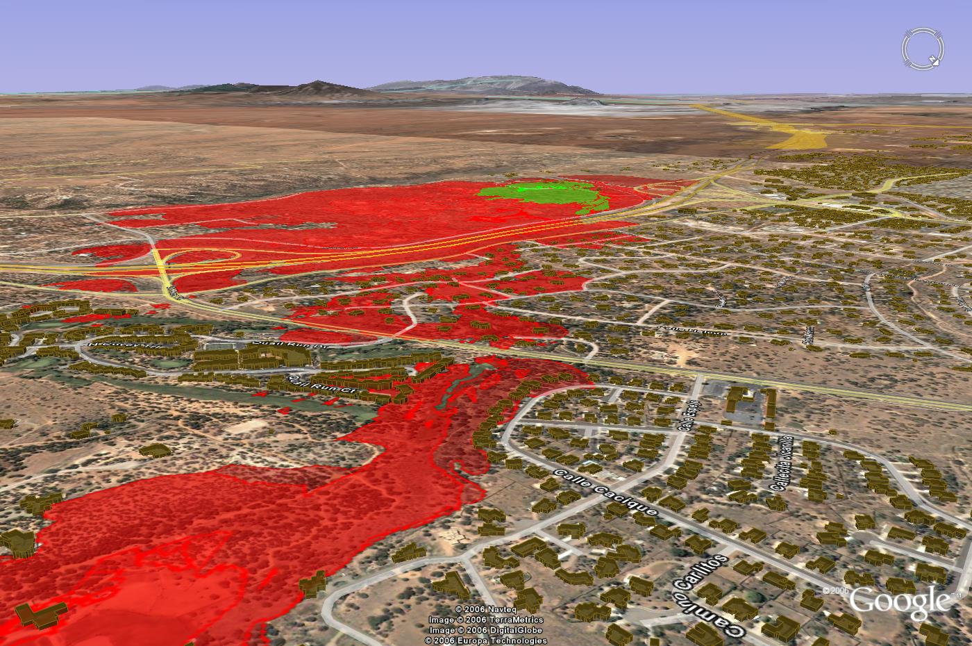
close-up image with homes layer
Cerro Gordo Scenario
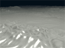
3D animation of fire based on Farsite time of arrival estimates. Approximate smoke is added to indicate wind direction and reduced visibility during evacuation
Quicktime animation (5 mb)
.avi animation (37mb)
Green area of image indicates first hour of burn based on Farsite simulation. Red indicates the second hour of burn.
Cerro Gordo Scenario
3D animation of fire and traffic. (full traffic and driver behavior to be updated)
Quicktime animation (15 Mb)
.avi animation (30 Mb)
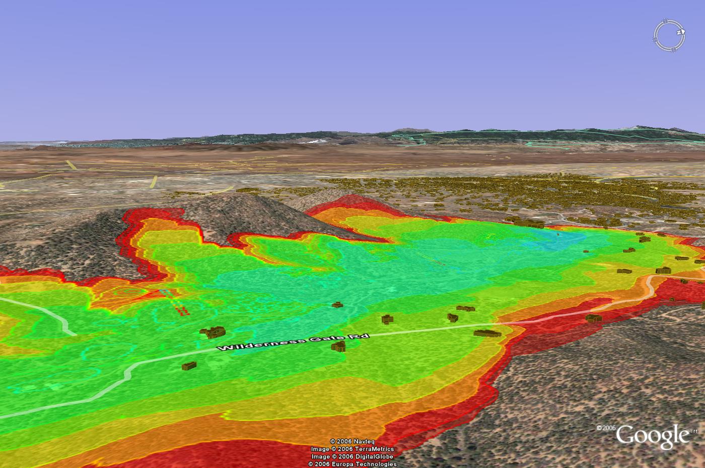
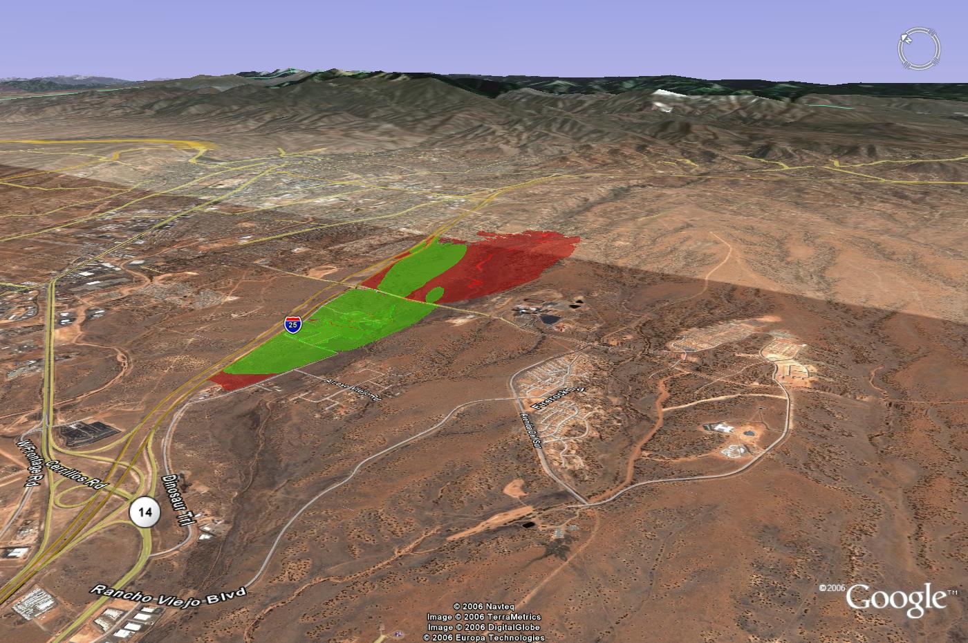
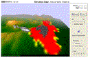
St John's / Wilderness Gate Scenario
Green area of image indicates first hour of burn based on Farsite simulation. Red indicates the seventh hour of burn.This particular run used mild weather and fuel conditions.
Cerro Gordo Scenario
3D animation of fire and traffic.
Quicktime animation (5 Mb)
.avi animation (34 Mb)
Download wildfire scenarios as Google Earth layers
SantaFeSimulatedWildfires noBuildings.kmz (1 mb)
SantaFeSimulatedWildfires withBuildings.kmz (10 mb)
Tom Chilton Interview
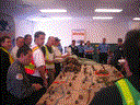
Homeowner visits in Cerros Colorados with Shelley Nolde
- Field notes: Word Doc
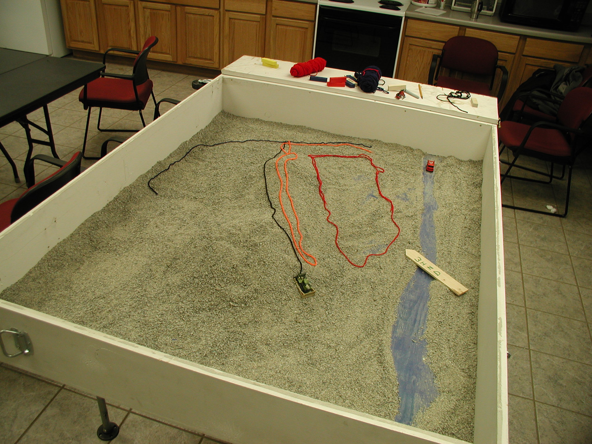
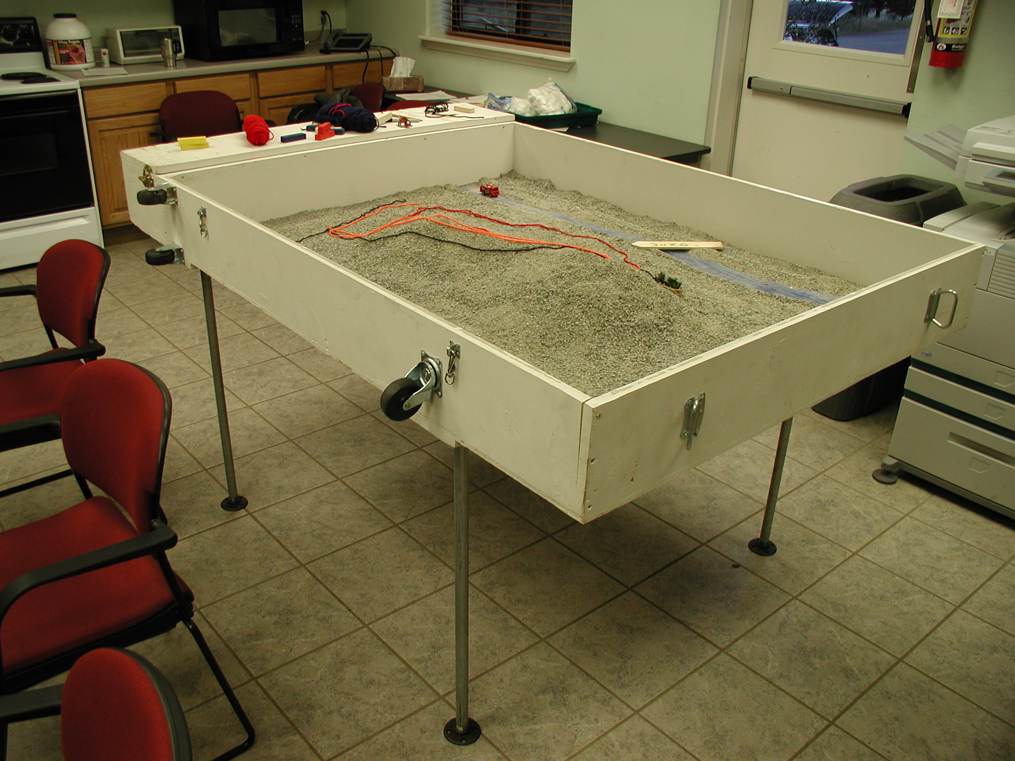
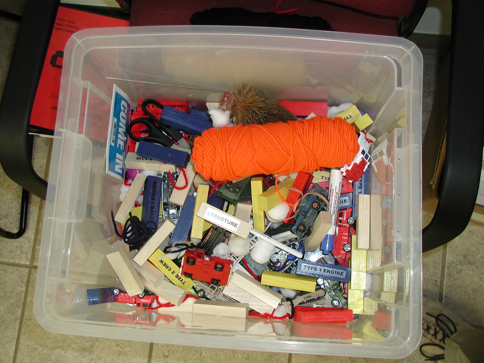
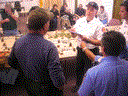
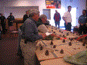
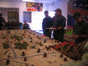
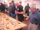
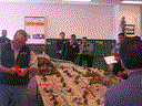
Sandtable exercise at Agua Fria Fire Station March 24, 2006
Scenario Descriptions and Exercise Comments collected by Erik Litzenberg
Photos:


Movie Clips: (.avi format) low quality 10fps from small digital camera
jpeg , world file
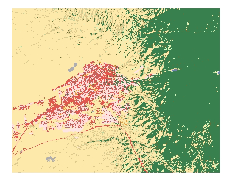
Santa Fe Land Cover Classification
jpeg , world file
jpeg , world file
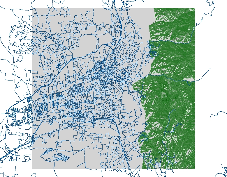
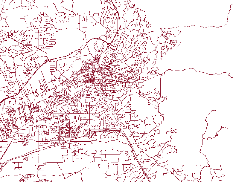
Streets image for Area of Study
png, world file
Animations from Fire and Traffic Models
Flyover from Sandias to Mt Baldy. Rendered in Blender. Elevation mesh was tranformed based on DEM data.

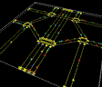
Level 0 models for Intersection Study
Currently only random routing
One 2x2
Cellular Automata Fire (low resolution)
Level 0 fire model
Simple modification to Netlogo fire model
No slope, no wind and uniform distribution of fuel with 60% density.


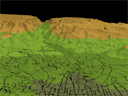
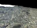
Flyover of Santa Fe
Rendered in Blender. Elevation is a displacement map from a DEM JPEG image.
This is contrast to the direct transformation fo the mesh based on
the elevation data done in the movie above. A simple 4-color texture
is on the terrain and a road texture mapwith an alpha chanel was included.

Test render using Netlogo CA Fire and a homogeneous fuel model as a texture map


Test render using CA Fire implemented in Blender

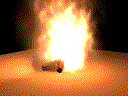
Test render of particle-based flame

Test render with simple CA Fire implemented in Blender
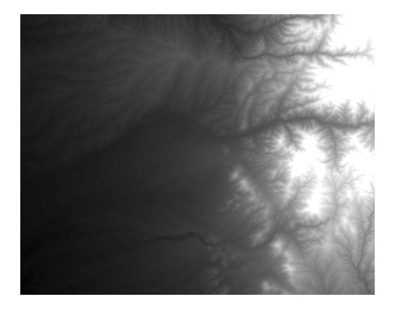
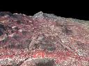
Corrected DEM. Tops of mountains are no longer mesas
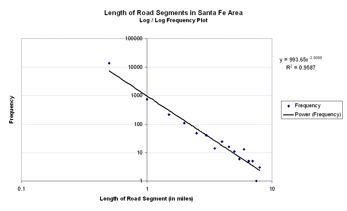
Perfunctory graph showing power law-like distribution of length road segments in Santa Fe area.
All code produced is open source and free for use based on LGPL license. The software is currently undocumented without end-user interfaces.
If you have questions about the software, contact Joshua Thorp or Stephen Guerin of RedfishGroup at (505)995-0206.
![]() FireCA_v0_5.zip : Fire Cellular Automata model in Python and Blender
FireCA_v0_5.zip : Fire Cellular Automata model in Python and Blender
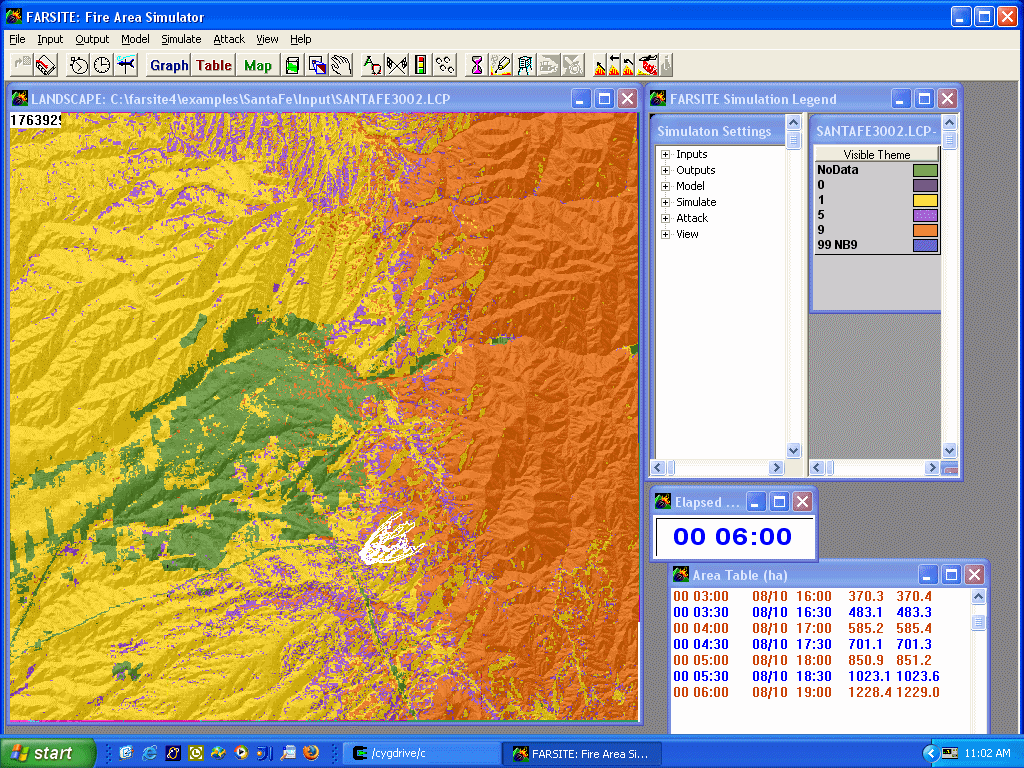
![]() WildfireEvacuationModel.zip : Full city evacutation model with Farsite Wildfire Simulation.(newer versions available)
WildfireEvacuationModel.zip : Full city evacutation model with Farsite Wildfire Simulation.(newer versions available)
Data input includes:
- GIS road centerlines for Santa Fe
- building outlines
- Digital Elevation from USGS
- intersection description file
- evacuee behavior description file
- Farsite output files. Required inputs
- USGS DEM
- Climate files (temperature, wind, rel humidity)
- Initial attack descriptions (ground and air crews)
- Fuel model

This software is licensed under the CC-GNU LGPL.
Cova, T.J., Dennison, P.E., Kim, T.H., and Moritz, M.A. (2005) Setting wildfire evacuation trigger-points using fire spread modeling and GIS. Transactions in GIS, 9(4): 603-617. PDF
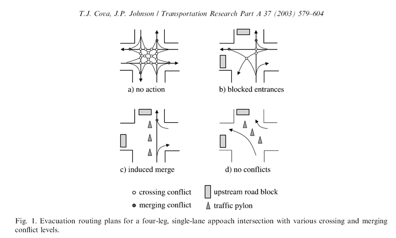
Cova, T.J., and Johnson, J.P. (2003) A network flow model for lane-based evacuation routing. Transportation Research Part A: Policy and Practice, 37(7): 579-604. PDF
Cova, T.J., and Johnson, J.P. (2002) Microsimulation of neighborhood evacuations in the urban-wildland interface. Environment and Planning A, 34(12): 2211-2229. PDF
Cova, T.J., and Church, R.L. (1997) Modelling community evacuation vulnerability using GIS. International Journal of Geographical Information Science, 11(8): 763-784. PDF
Cova, T.J. (2005) Public safety in the urban-wildland interface: Should fire-prone communities have a maximum occupancy? Natural Hazards Review, 6(3): 99-108. PDF
Gershenson, Carlos (2004) Self-organizing traffic lights. ArchivX PDF
Lindroth, Ron (2004). Community defense from wildfire, an international comparison. An applied research project submitted to the National Fire Academy
as part of the July, 2004 Leading Community Risk Reduction course. Word Doc
Oaks, Don (2000). Fight or Flight?. Fire Chief. April 1, 2000 html
Video footage
Oakland Berkeley Video of evacuees stuck in traffic with smoke and flame (requires Real Video)
The second clip of the three has the most relevant footage (local copy)
 Evacuee interview from Alpine Fire (requires Real Video)